Drone Techs
Transforming the Way You See Your Job Site.
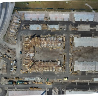
Capturing the Full Picture with Drone Technology


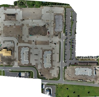


Drone Techs: Capturing Your Job Site from Above
Discover the power of drone technology combined with cutting-edge mapping programs. Our team flies over your job site, capturing stunning photos that are transformed into ortho mosaic maps, immersive 360 walkthroughs, and captivating time-lapse photos. Experience the convenience of viewing your project from anywhere, gaining valuable insights and enhancing collaboration.


Not to mention
Our Services
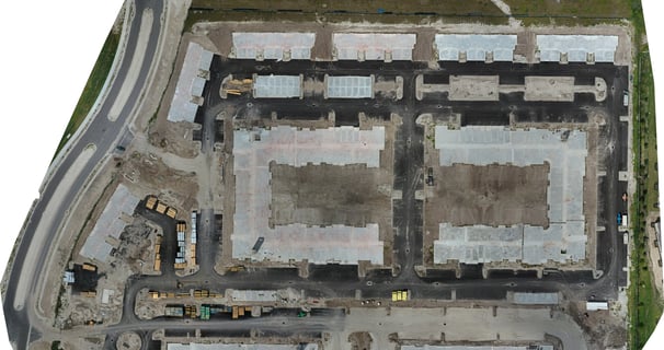
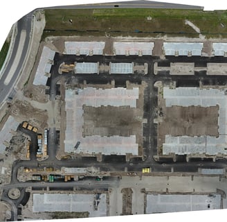
Discover our range of services that utilize drone technology and advanced mapping programs to provide you with comprehensive visual data of your job site. From ortho mosaic maps to 360 walkthroughs and time-lapse photos, we offer a variety of solutions to help you see your project from anywhere.
Unlocking the Power of Aerial Data


And let's not forget
Why Choose Us
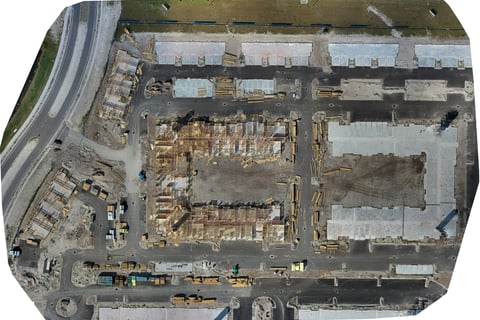
Find out why Drone Techs is the best choice for your aerial imaging needs. With our cutting-edge technology, experienced team, and commitment to delivering high-quality results, we ensure that you receive accurate and detailed visual data to support your project management and decision-making processes.
About Drone Techs
At Drone Techs, we specialize in leveraging the power of drones and the latest mapping technology to provide comprehensive visual data for your job site. Our team of skilled professionals is dedicated to delivering accurate and detailed imagery that helps you monitor progress, identify potential issues, and showcase your work to clients and stakeholders. Trust Drone Techs to revolutionize the way you view and manage your projects.